Cook Islands : l'île de Rarotonga
See the beautiful island of Rarotonga from a drones perspective in 4K resolution.
The volcanic island of Rarotonga stands over 14,750 feet (4,500 meters) above the ocean floor. It is 32 km (20 miles) in circumference and has an area of 67.19 km² (26 square miles). At a depth of 4,000 m (13,000 ft) the volcano is nearly 50 km (31 miles) in diameter. Te Manga, at 658 m (2,140 ft) above sea level, is the highest peak on the island.
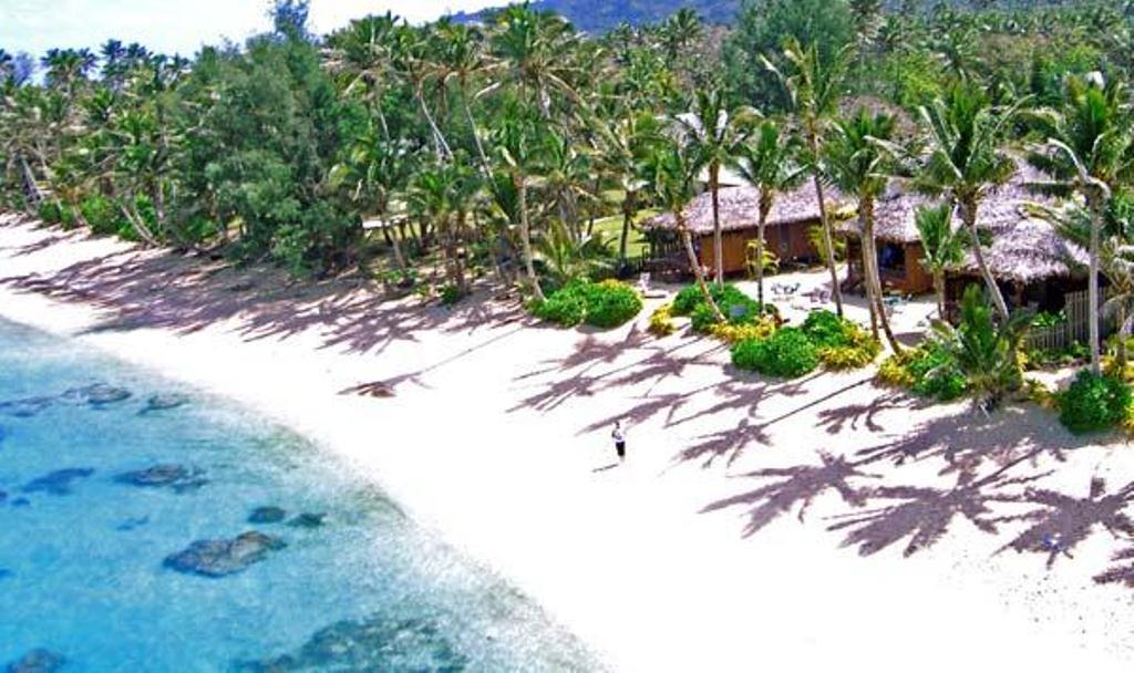
The island is surrounded by a lagoon, which often extends more than a hundred metres to the reef, then slopes steeply to deep water. The reef fronts the shore to the north of the island, making the lagoon there unsuitable for swimming and water sports, but to the south east, particularly around Muri, the lagoon is at its widest and deepest. This part of the island is the most popular with tourists for swimming, snorkelling and boating. Agricultural terraces, flats and swamps surround the central mountain area.
Along the southeast coast off Muri Beach are four small coral islets within a few hundred metres of the shore and within the fringing coral reef.
Filmed with DJI Inspire X3 (Single Operator)
If you wish to use any part of this video for commercial or personal reasons please email me: cjaitchison@gmail.com
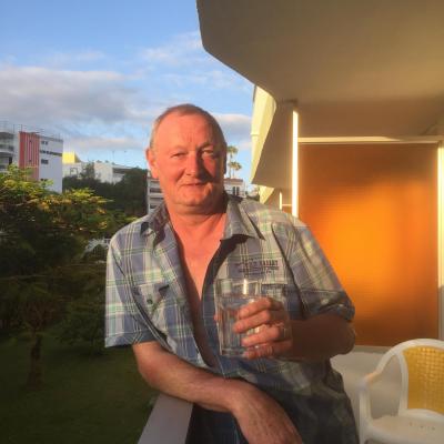
Source photo d'illustration : Booking.com